Based on an interview with longtime FSM supporter Craig Mathews
May 2020
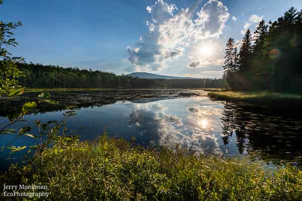
As  a young boy roaming the thick forests, damp fields, and shaded streams and gullies around his family’s farm in northern Maine, Craig Mathews discovered that oak ferns grow where it’s wet, while hayscented ferns are found in meadows. He scoured the woods with a shovel and pail to collect specimens for his fern garden, which held more than 20 species. He felt at home in the woods. He still does.
Mathews Farm has been in Craig’s family for nearly 200 years. In 1825—only three years after Monson was founded and only five years after Maine became a state—Jonathan “Captain” Mathews purchased land a few miles outside of town and built a house. Jonathan quickly learned that his land was poor for farming, so to support his family he worked log drives on the Kennebec River and Moosehead Lake. Craig was always told that Mathews Cove on Moosehead Lake was named for his great-great-great grandfather. The reason was never clear: did he do something heroic there, or did he just fall in?
Several books were written at Mathews Farm. Craig Mathews’ grandfather, Shailer Mathews, was a prolific author and liberal Christian theologian. Shailer graduated from Colby with offers to teach French history or to play professional baseball; in those days the money was more reliable in teaching. Eventually, he chose to attend divinity school. He became dean of the newly formed Divinity School of the University of Chicago but traveled each year to Monson to spend his summers writing in a converted pigpen. Craig’s father, a law professor, wrote casebooks in the converted pigpen; he and Craig each wrote law review articles there.
 The Mathews men weren’t the only ones who enjoyed the farm. The Mathews women were active and essential participants in all aspects of farm life. In earlier days, they rode horses, drove carriages, and helped bring in the hay. They hiked in the woods, climbed mountains, and were just as involved in events in the town of Monson. The farm’s story is equally theirs.
Growing up, Craig and his parents made the trip to Maine from Columbus, Ohio, every summer—except for three years when there was gas rationing due to WWII. He remembers fishing—just once—with his grandfather, Shailer, in a row boat on Monson Pond. It was a broiling midsummer day, the sun high overhead in a cloudless sky. Craig’s grandfather gave him a single worm to put on the end of his line. Young Craig waited for hours, sweating, but he never got so much as a nibble. Meanwhile, his grandfather used a casting rod to keep landing fish. That day was enough to convince Craig that fishing was not for him.
Instead, he hiked all the local mountains. His first ascent, at age three, was Mt. Kineo on Moosehead Lake, although he had to be carried home. Craig’s father encouraged his son to develop his outdoor and navigational skills, which later helped Craig advance to infantry officer school, then to the elite Army Rangers, and then to the Tenth Mountain Training Command after he was drafted into the military in 1954. Craig later went on to become an environmental lawyer (now retired) and a founder of the Environmental Law Institute, which is completing its 51st year of conducting environmental programs worldwide. He is grateful to have been immersed in nature from a young age. Appreciation for nature, he feels, is essential to learn young. To him, the family farm feels more like home than his “real” home in Washington, DC where there is less opportunity to spend quality time in the outdoors.
Two centuries of Mathews family memories are written in one place. To date, this history spans six generations, with three more close behind. That’s why the family has chosen to create a family trust to maintain the farm in perpetuity. Beneficiaries of the trust include the members of both Craig’s family and his wife, Ruth’s.
The family also chose to work with the Forest Society of Maine to place a working forest conservation easement, completed in 2003, on more than 400 acres of forests that surround their beloved farm. The family currently plans to extend the easement to include additional acreage—so that future generations can hike, explore, and search for ferns.