Thank you!
Donors give FSM the capacity to work with forestland owners on new conservation projects while overseeing one million acres of already conserved lands.
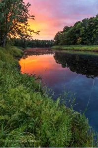
Each year those from Maine and beyond who care about Maine’s vast forestlands make it clear from their contributions that these woods and waters hold a special place in their hearts. We’re proud of what’s been achieved these past 12 months and hope that you will be too, as you read about the places that have been permanently protected for people and wildlife forever.
Three projects completed so far in 2016,
and counting…
Amazon – Musquash
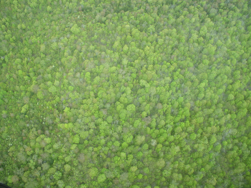
The Forest Society of Maine worked with Downeast Lakes Land Trust (DLLT) to complete a decade long landscape conservation initiative in the Downeast Lakes region. This summer DLLT closed on their 21,000-acre Grand Lake Stream Community Forest project, and, as part of that transaction DLLT donated a 7,100-acre conservation easement to FSM.

West Branch of the Dead Stream
In July FSM completed the West Branch of the Dead Stream easement in Atkinson resulting in the conservation of 2,300 acres and filling an important gap within a network of conserved lands. This project includes about 15 miles of land along Levensellor Brook and the West Branch of the Dead Stream, and complements two other easements the Forest Society of Maine holds nearby.

Reed Forest
On November 14, Apple and The Conservation Fund announced the donation of a 32,400-acre conservation easement at Reed Forest to Forest Society of Maine. With support from Apple, the Fund also donated an endowment to Forest Society of Maine to ensure the easement will be monitored and enforced.